Coconut farming is a cornerstone of rural economies across Asia, steeped in tradition and integral to both livelihoods and global supply chains. But as climate variability intensifies, so do the challenges from erratic rainfall and soil degradation to rising input costs and fragmented landscapes.
To help producers adapt, Peterson has partnered with growers across the region to deploy satellite-powered crop monitoring, offering a new level of visibility into plantation health without any field hardware or installation.
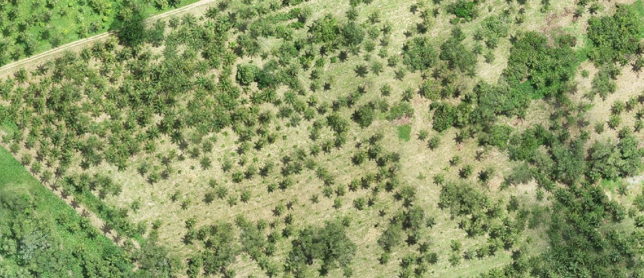
The Challenge: Limited Visibility Across Vast Area
In one of our recent projects, a leading coconut producer in Southeast Asia approached us with a common issue: their teams were losing time and resources on routine field inspections, often missing early signs of crop stress that were only visible too late.
Despite having skilled agronomists on the ground, they lacked a centralized, real-time view of plantation conditions making it difficult to manage variability across thousands of trees.
The Solution: Remote Insights Delivered to Their Screen
Our remote monitoring solution integrates high-resolution satellite data with tailored
agronomic analysis, helping producers:
- Visualize canopy health and changes in vegetation density over time
- Identify water or nutrient stress early, before symptoms escalate
- Prioritize interventions more efficiently across plots
The Results: Fewer Inspections, Faster Action
Within weeks of implementation, the client saw tangible benefits:
- Within weeks of implementation, the client saw tangible benefits:
- Faster detection of underperforming zones
- Improved resource allocation, leading to more focused agronomic support
The visual maps also improved internal reporting and communication with sustainability partners.
“This platform gave us clarity. For the first time, we could see where stress was building before it was visible in the field.”
— Operations Manager, Southeast Asia Project
A Broader Vision for Sustainable Agriculture
This is just one example of how geospatial technology is transforming crop management not just for coconut, but also rice, sugarcane, and rubber across the region.
At Peterson, we believe data is a critical enabler of smarter, more resilient agriculture. That’s why we continue to build solutions that are accessible, scalable, and audit-ready for producers and cooperatives alike.
See the Linkedin post about the case: